

DR. HUGH WILLIAMSON

Signer of the Federal Constitution, member of Congress, historian. Home was 4 blocks S.E.Plaque via North Carolina Highway Historical Marker Program, and is used with their permission. Full page...
- ncmarkers
- north carolina
WILLIAM P. ROBERTS

A Confederate brigadier general at age 23, state auditor, a member of Convention of 1875. His grave is 700 yds. west.Plaque via North Carolina Highway Historical Marker Program, and is used with...
- ncmarkers
- north carolina
EARLY EXPLORATION

In 1622 an expedition from Jamestown, Va., led by John Pory, explored the Chowan River area.Plaque via North Carolina Highway Historical Marker Program, and is used with their permission....
- ncmarkers
- north carolina
ISAAC GREGORY
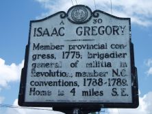
Member provincial congress, 1775; brigadier general of militia in Revolution; member N.C. conventions, 1788-1789. Home is 4 miles S.E.Plaque via North Carolina Highway Historical Marker Program,...
- ncmarkers
- north carolina
GEORGE DURANT 1632-1694

Pioneer settler in the Albemarle, about 1662. Speaker of Assembly. Site of home 20 miles east, at Durant's Neck.Plaque via North Carolina Highway Historical Marker Program, and is used with...
- ncmarkers
- north carolina
DEMPSEY BURGESS
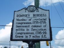
Member of provincial congresses, 1775-1776; lieutenant colonel of militia in Revolution; Congressman, 1795-99. Grave is 7 miles S.E.Plaque via North Carolina Highway Historical Marker Program, and...
- ncmarkers
- north carolina
JOHN HARVEY

Five times speaker of colonial assembly, moderator of provincial congresses, 1774-1775, leader of Revolutionary movement. Lived 11 mi. S.Plaque via North Carolina Highway Historical Marker...
- ncmarkers
- north carolina
MACKEYS FERRY
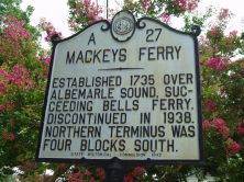
Established 1735 over Albemarle Sound, succeeding Bells Ferry. Discontinued in 1938. Northern terminus was four blocks south.Plaque via North Carolina Highway Historical Marker Program, and...
- ncmarkers
- north carolina
RICHARD J. GATLING

Patented rapid-firing Gatling Gun, 1862. Also invented a variety of agricultural implements. Birthplace was 2/10 mi. N.Plaque via North Carolina Highway Historical Marker Program, and is used with...
- ncmarkers
- north carolina
FIRST POST ROAD
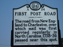
The road from New England to Charleston, over which mail was first carried regularly in North Carolina, 1738-39, passed near this spot.Plaque via North Carolina Highway Historical Marker Program,...
- ncmarkers
- north carolina
BURNING OF WINTON
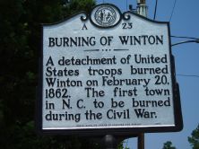
A detachment of United States troops burned Winton on February 20, 1862. The first town in N.C. to be burned during the Civil War.Plaque via North Carolina Highway Historical Marker Program, and...
- ncmarkers
- north carolina
EDENTON TEA PARTY
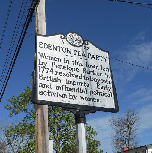
Women in this town led by Penelope Barker in 1774 resolved to boycott British imports. Early and influential activism by women.Plaque via North Carolina Highway Historical Marker Program, and...
- ncmarkers
- north carolina
CULPEPER'S REBELLION

Culpeper and Durant led a revolt against British trade laws, seized the government 1677, 2 mi. SE.Plaque via North Carolina Highway Historical Marker Program, and is used with their...
- ncmarkers
- north carolina
MURFREE HOUSE

Home of William Hardy Murfree, member of U.S. Congress, 1813-1817; N.C. House, 1805 & 1812; presidential elector, 1812. House stands 1 block N.Plaque via North Carolina Highway Historical Marker...
- ncmarkers
- north carolina
INDIAN WOODS

Reservation established in 1717 for Tuscaroras remaining in N.C. after war of 1711-1713. Sold, 1828. Five miles N.W.Plaque via North Carolina Highway Historical Marker Program, and is used with...
- ncmarkers
- north carolina
CHOWAN UNIVERSITY
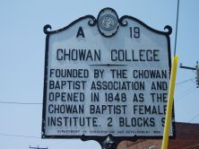
Opened 1848 as Chowan Baptist Female Institute. Became four-year college, 1992. A university since 2006. Two blocks south.Plaque via North Carolina Highway Historical Marker Program, and is...
- ncmarkers
- north carolina
JOHN H. WHEELER
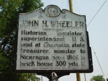
Historian, legislator, superintendent U.S. Mint at Charlotte, state treasurer, minister to Nicaragua, born 1806 in brick house 300 yds. N.Plaque via North Carolina Highway Historical Marker...
- ncmarkers
- north carolina
GEORGE WASHINGTON

Owned a tract of land nearby. He surveyed and formed a company to drain a part of the Dismal Swamp, 1763.Plaque via North Carolina Highway Historical Marker Program, and is used with...
- ncmarkers
- north carolina
DIVIDING LINE

In 1728 the Virginia-Carolina boundary was first surveyed from the Atlantic coast to a spot two hundred twenty miles west of here.Plaque via North Carolina Highway Historical Marker Program, and...
- ncmarkers
- north carolina
DIVIDING LINE

Commissioners drove the first stake for the Virginia-Carolina boundary, Mar. 18, 1728, three miles N.E., across Currituck Sound.Plaque via North Carolina Highway Historical Marker Program, and is...
- ncmarkers
- north carolina