

JAMES MOORE

Commander of Whigs in Moore's Creek campaign, 1776, brigadier general North Carolina troops at Charleston. Died 1777. His home was 3 mi. S.E.Plaque via North Carolina Highway Historical Marker...
- ncmarkers
- north carolina
ALFRED MOORE

Associate Justice United States Supreme Court, 1799-1804, officer in the Revolution, state attorney general, judge. Home was 18 3/4 mi. S.Plaque via North Carolina Highway Historical Marker...
- ncmarkers
- north carolina
ROBERT HOWE
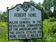
Major general in the Revolution, commander of the American Army in the South, 1776-78. His home stood 17 miles S.Plaque via North Carolina Highway Historical Marker Program, and is used with...
- ncmarkers
- north carolina
STATE SALT WORKS

The state of North Carolina to relieve a wartime scarcity, operated salt works from here to Myrtle Grove Sound, 1861-64.Plaque via North Carolina Highway Historical Marker Program, and is...
- ncmarkers
- north carolina
EARLY DRAWBRIDGE
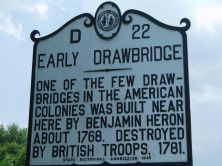
One of the few drawbridges in the American colonies was built near here by Benjamin Heron about 1768. Destroyed by British troops, 1781.Plaque via North Carolina Highway Historical Marker Program,...
- ncmarkers
- north carolina
CORNWALLIS

Retreating after Battle of Guilford Courthouse, en route to Wilmington, passed near here with his army in April 1781.Plaque via North Carolina Highway Historical Marker Program, and is used with...
- ncmarkers
- north carolina
WILMINGTON AND WELDON RAILROAD
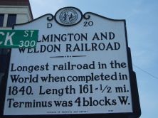
Longest railroad in the world when completed in 1840. Length 161 1/2 mi. Terminus was 4 blocks W.Plaque via North Carolina Highway Historical Marker Program, and is used with their...
- ncmarkers
- north carolina
OLD COURTHOUSE

Stood two blocks west. Here a stamp master, William Houston, was forced to resign, 1765, and safety committees met in 1775.Plaque via North Carolina Highway Historical Marker Program, and is used...
- ncmarkers
- north carolina
WASHINGTON'S SOUTHERN TOUR

President Washington was a guest Apr. 24-25, 1791, at the Quince home which stood 2 blocks W.Plaque via North Carolina Highway Historical Marker Program, and is used with their permission....
- ncmarkers
- north carolina
S. S. SATCHWELL
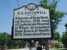
A founder of State Medical Society, 1849, head of Confederate Hospital at Wilson, 1st president State Board of Health, 1879. Home stood here.Plaque via North Carolina Highway Historical Marker...
- ncmarkers
- north carolina
EDWARD B. DUDLEY 1789-1855

Governor, 1836-41, the first in N.C. elected by popular vote; first president of Wilmington and Weldon Railroad. His home stands 2 blocks W.Plaque via North Carolina Highway Historical...
- ncmarkers
- north carolina
SPANISH ATTACK
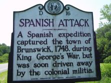
A Spanish expedition captured the town of Brunswick, 1748, during King George's War, but was soon driven away by the colonial militia.Plaque via North Carolina Highway Historical Marker Program,...
- ncmarkers
- north carolina
JOHN BURGWIN 1731-1803

Merchant, planter, and colonial official. Built this house, 1770-1771. His "Hermitage" estate was eight miles north.Plaque via North Carolina Highway Historical Marker Program, and is used with...
- ncmarkers
- north carolina
ARTHUR DOBBS

Royal Governor 1754-65, author, member Irish Parliament, promoter of search for Northwest Passage, is buried at Saint Philips Church.Plaque via North Carolina Highway Historical Marker Program,...
- ncmarkers
- north carolina
HINTON JAMES

First student to enter the University of North Carolina, 1795. Civil engineer and legislator. Grave 300 yards east.Plaque via North Carolina Highway Historical Marker Program, and is used with...
- ncmarkers
- north carolina
FORT FISHER

Built by Confederacy. Its fall, Jan. 15, 1865, closed Wilmington, last important southern port for blockade running.Plaque via North Carolina Highway Historical Marker Program, and is used with...
- ncmarkers
- north carolina
MODERN GREECE
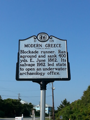
Blockade runner. Ran aground and sank 400 yds. E., June 1862. Its salvage 1962 led state to open an underwater archaeology office.Plaque via North Carolina Highway Historical Marker Program, and...
- ncmarkers
- north carolina
PARKER ROBBINS 1834-1917

Civil War cavalryman. Among highest ranking North Carolinians in the United States Colored Troops. Legislator, 1868-70. Grave 1/2 mile west..Plaque via North Carolina Highway Historical...
- ncmarkers
- north carolina
UNITED STATES COLORED TROOPS

Black soldiers & white officers in Union army, 1863-1865. About 500 involved in Wilmington campaign buried here.Plaque via North Carolina Highway Historical Marker Program, and is used with their...
- ncmarkers
- north carolina
STEDE BONNET 1688-1718

Barbadian planter turned pirate made N.C. his base, 1718. Captured in naval battle few mi. E. Hanged in Charleston.Plaque via North Carolina Highway Historical Marker Program, and is used with...
- ncmarkers
- north carolina