The Michipicoten Canoe Route
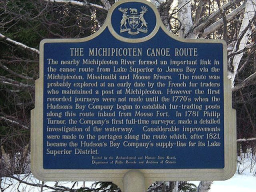
The nearby Michipicoten River formed an important link in the canoe route from Lake Superior to James Bay via the Michipicoten, Missinaibi and Moose Rivers. The route was probably explored at an early date by the French fur traders who maintained a post at Michipicoten. However the first recorded journeys were not made until the 1770's when the Hudson's Bay Company began to establish fur-trading posts along this route inland from Moose Fort. In 1781 Philip Turnor, the Company's first full-time surveyor, made a detailed investigation of the waterway. Considerable improvements were made to the portages along the route which, after 1821, became the Hudson's Bay Company's supply-line for its Lake Superior District.
Plaque via Alan L. Brown's site Ontario Plaques. Full page here.